N.2317 Anello Pianezze - Col dei Gai - M.te Cimone - Posa
Description
of the path
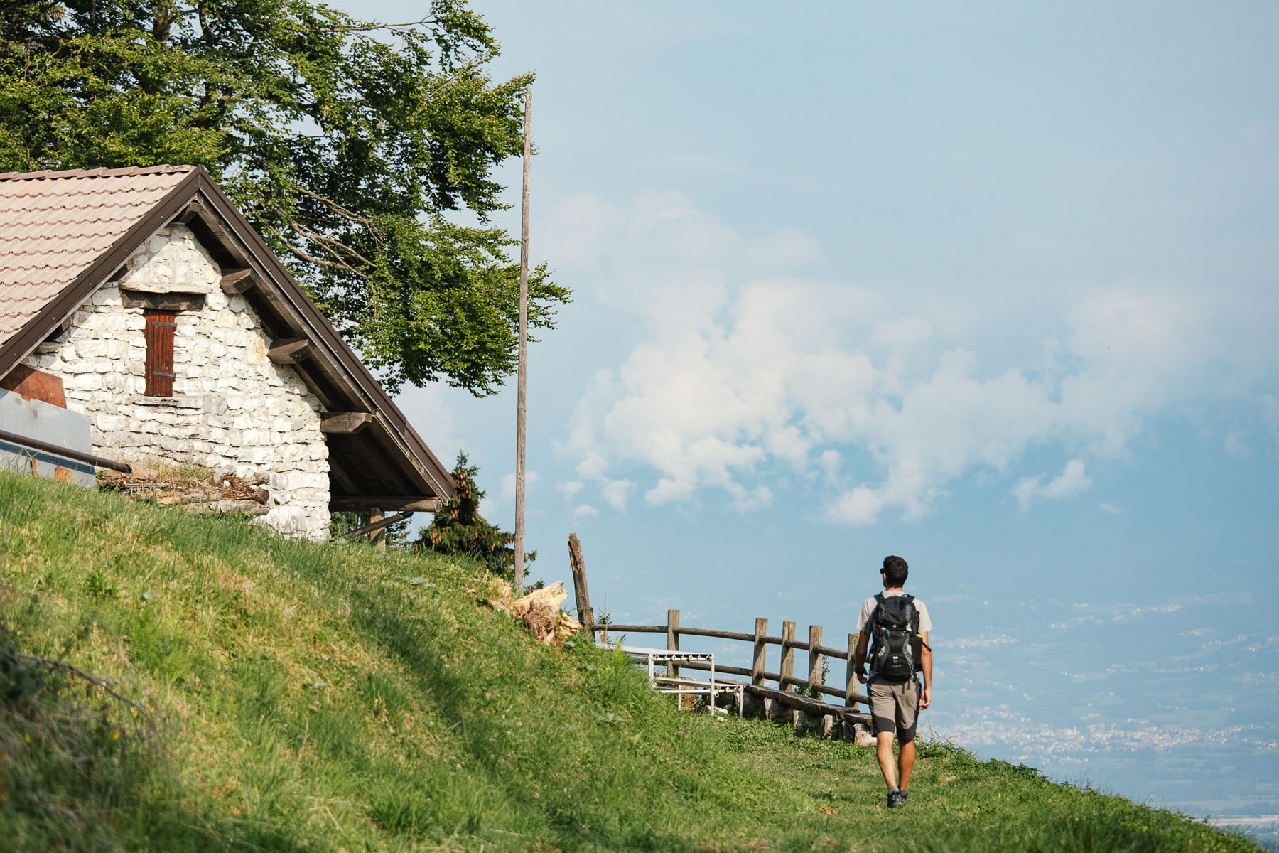
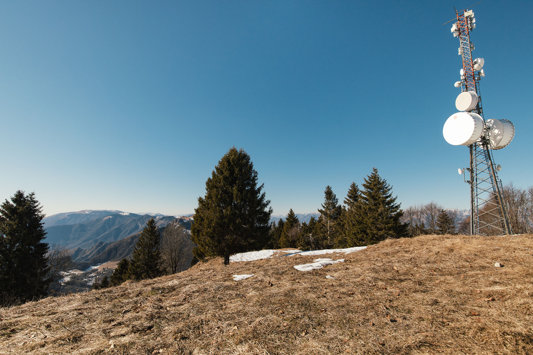
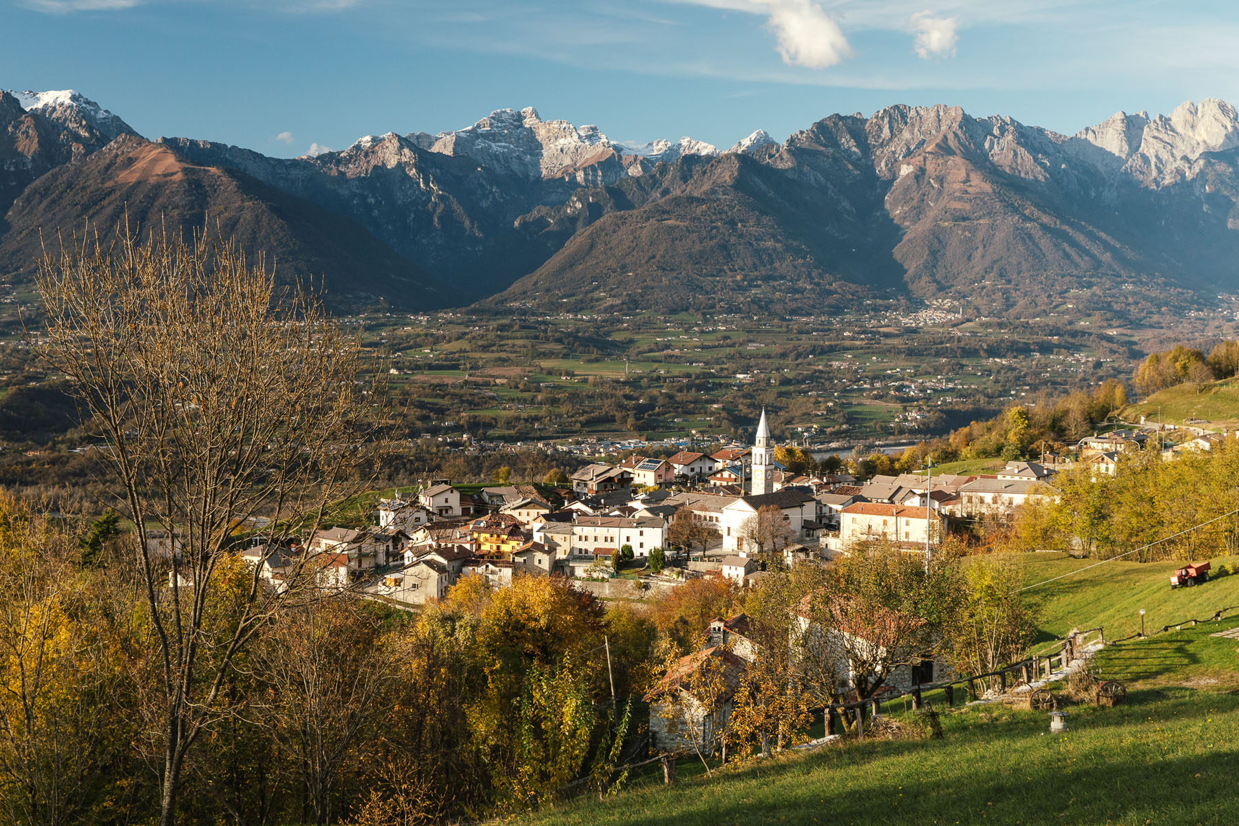
A very scenic loop that takes you, passing Punta Calderol, first to the equipped bivouac of “Col dei Gai” where the view sweeps over the entire Valbelluna with the Monti del Sole and the Vette Feltrine peaks, and then to the summit of Monte Cimone, where the foundations of some small US army barracks are still visible, used during the cold war as a radio bridge between the missile base on the Cansiglio plateau and the powerful antennas of Monte Venda in the Euganean Hills.
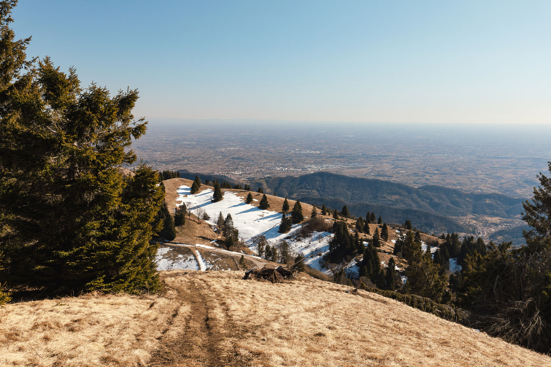
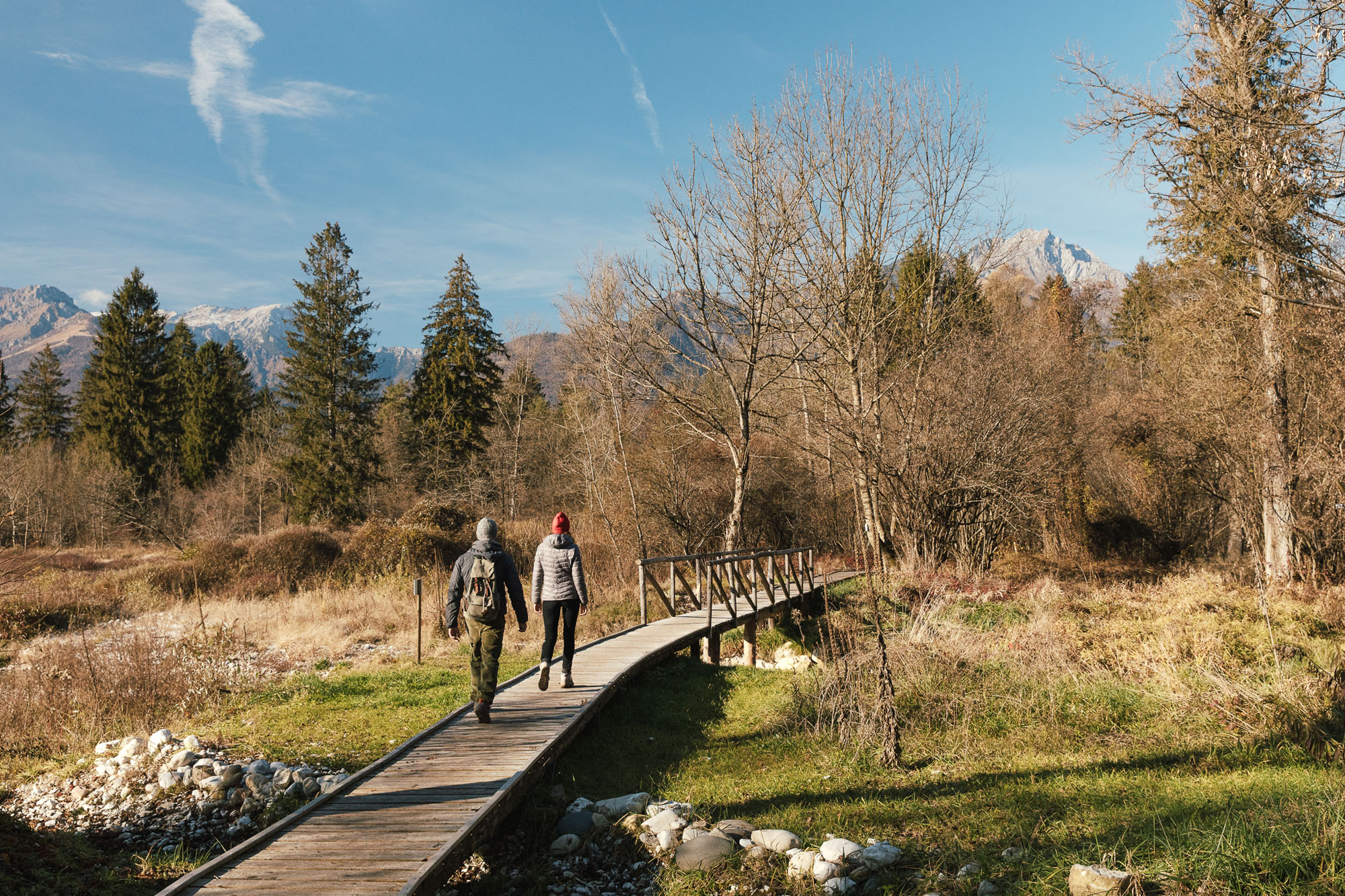
Then descend to “La Posa” where, on clear days, the view sweeps from the Gulf of Trieste to Venice, from the river Piave, with the moraine hills of Montello, to the Asolani Hills, from the Berici Mountains to the Euganean Hills. From here, paragliders and hang-gliders launch themselves into breathtaking flights over the UNESCO World Heritage Prosecco Hills, landing near the beautiful lakes of Revine and Lago. Return to your car via “Busa Todesca” through the characteristic green landscape full of restored rural homes.