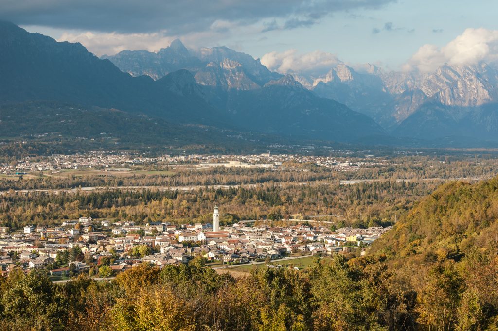
The vast territory of Borgo Valbelluna, with its untouched valleys and wild ridges needed to be more than just a destination for some expert hiker and adventure lover, and to become able to welcome casual hikers as well, that like to go on trips with the family too.
Hence the need to map, tabulate and above all unify the trail network of the entire Valbelluna.

The project was born this way, from volunteers who love their territory and have decided to enhance it. The project started by involving experts from the former municipalities of Mel, Lentiai and Trichiana, who traced new paths by taking cues from the already existing ones, though excluding the more complex trails to make itineraries more accessible. Creating paths on the tracks of the old, leaving out the more complex ones, creating ring routes by choosing the best, the most beautiful and spectacular to allow anyone with a minimum of experience, to enjoy the beauty of the landscapes, history and nature.
The most exciting part of this project was testing these new routes in order to evaluate their different difficulties. A total of 270 km have been mapped for a total of 24 routes; moreover, 750 new tables were placed.
The trails are maintained by the volunteers associations like civil protection and hunters associations who already took care of it normally. The trail network has been recognized by the Veneto Region and the tables on the routes will be blue for the valley floor and the red for the mountains with numbers ranging from 2300 to 2399. Finally, a map was printed with up-to-date touristic information about the beautiful tours that develop among nature and culture of this beautiful village.
Borgo Valbelluna
Piazza Papa Luciani, 3
32026 Mel BL
© 2022 Comune di Borgo Valbelluna | C.F. 01225000254 | Credits web: ofprojects.com photography: robertodepellegrin.com
Privacy Settings
This website uses cookies to improve your experience while you navigate through the website.
View the Cookie Policy View the Personal Data Policy
Google Fonts is a service used to display font styles operated by Google Ireland Limited and serves to integrate such content into its pages.
Place of processing: Ireland - Privacy Policy