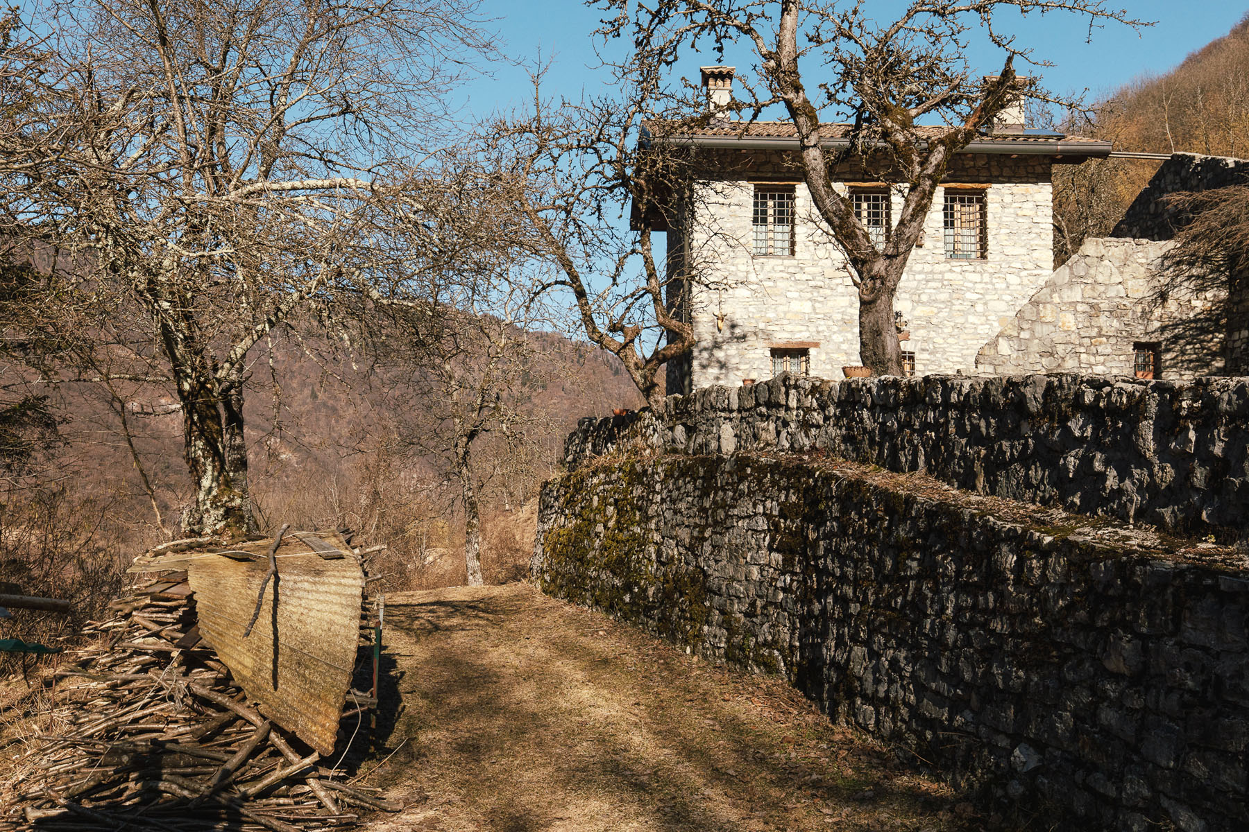
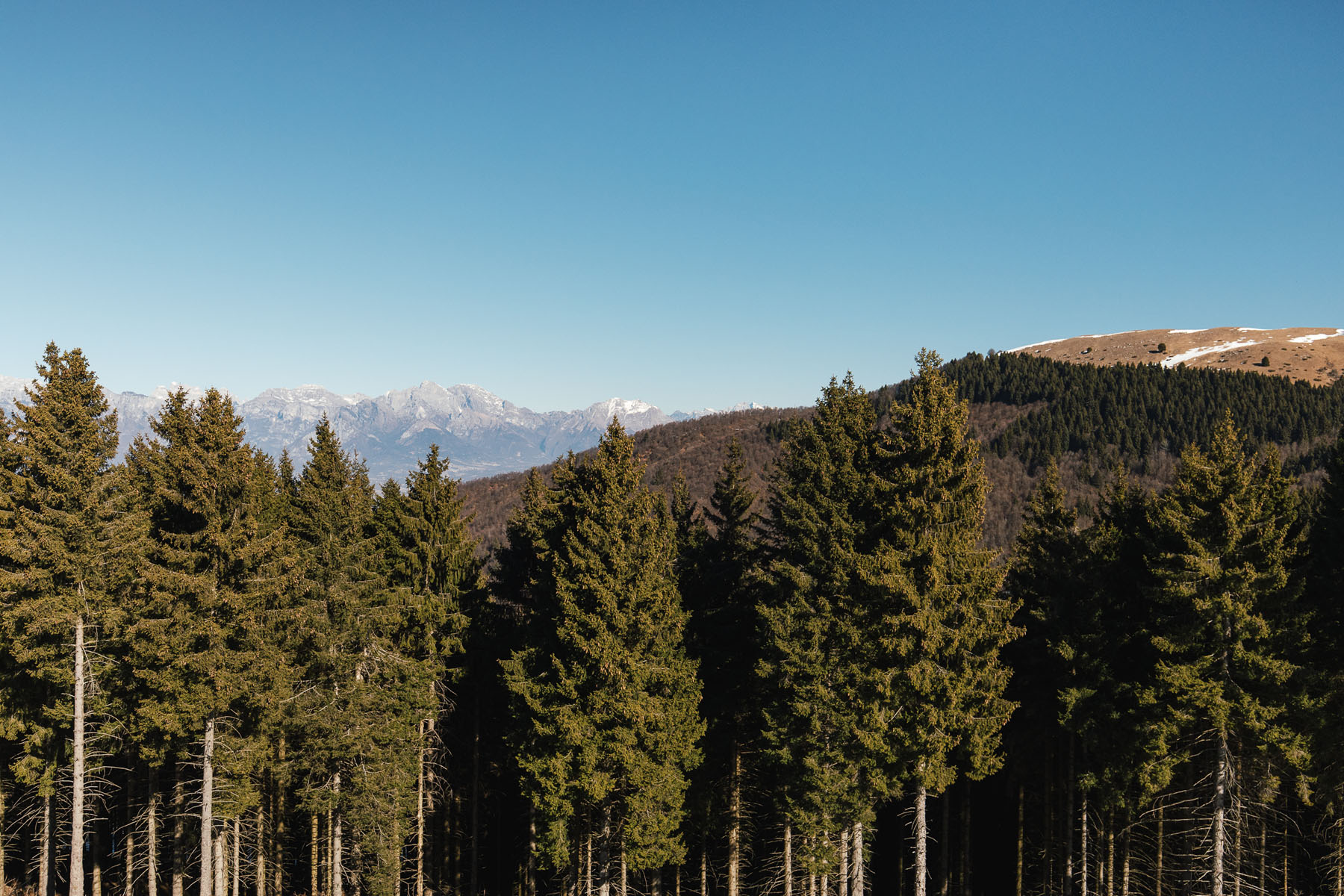
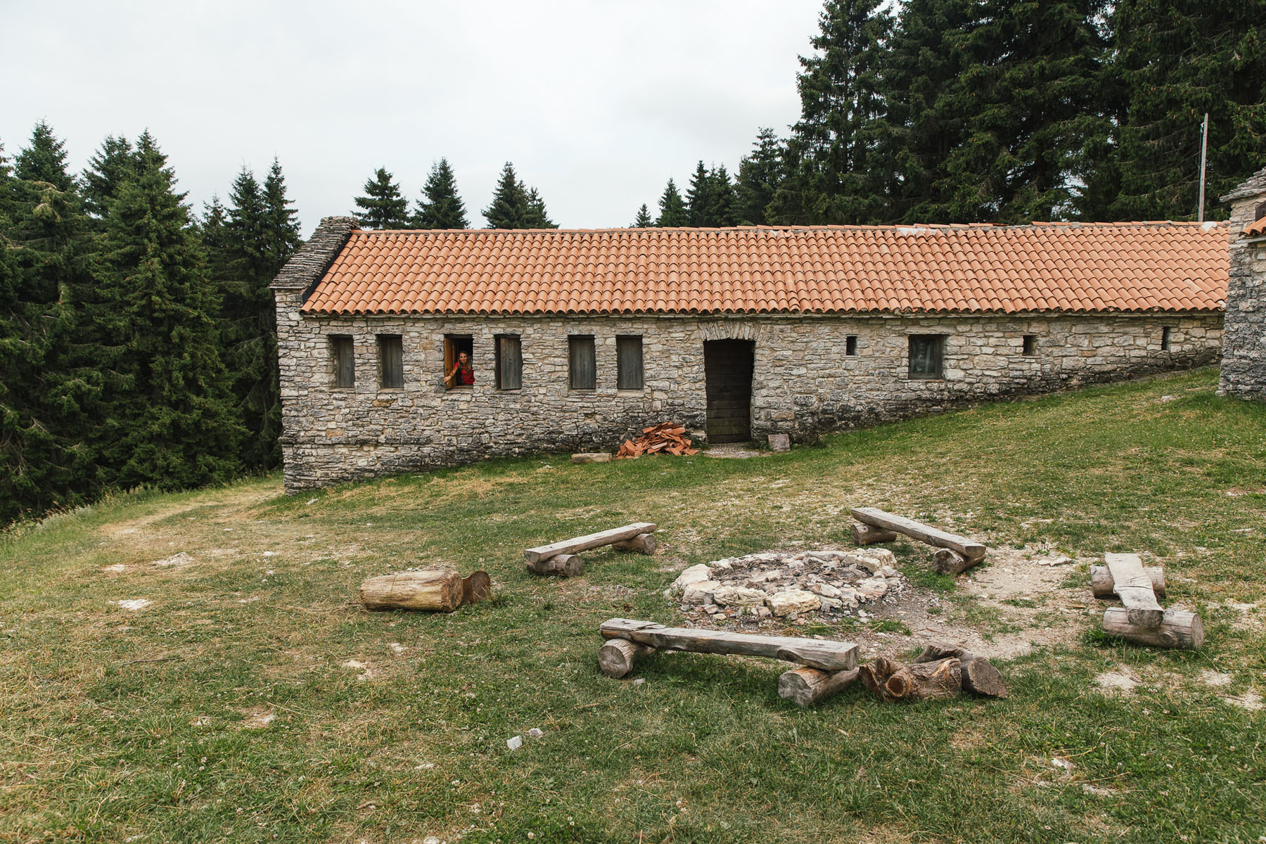
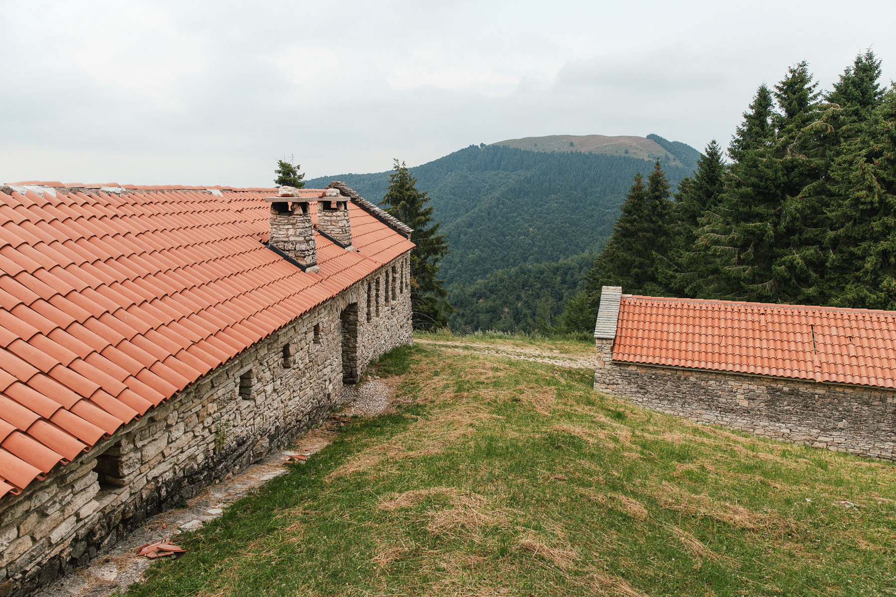
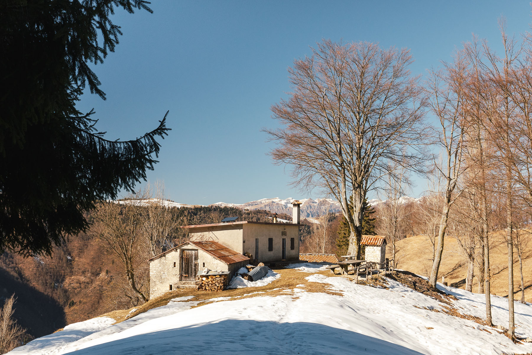
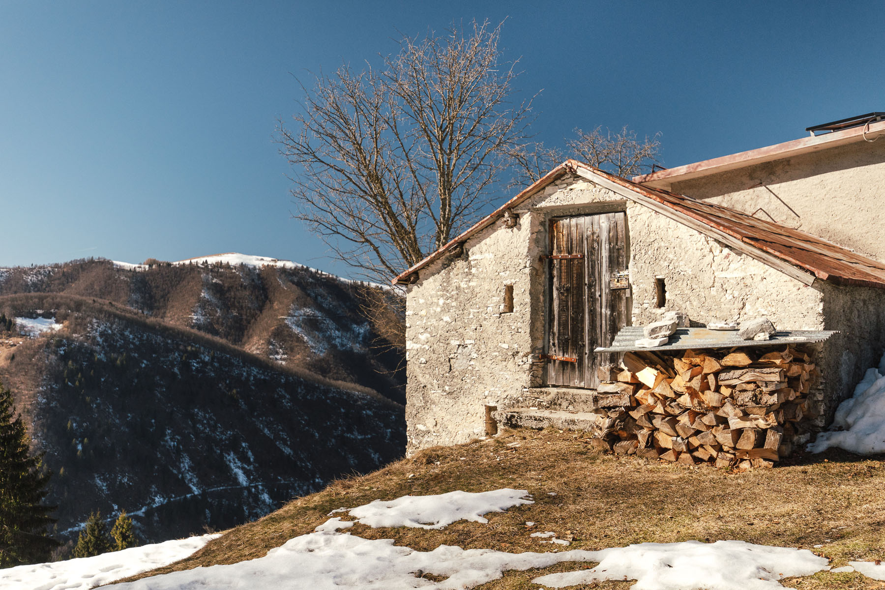
Choose this challenging loop if you want to be alone with your thoughts. Leave your car at the large car park at Scarlir and climb up to the AGESCI Scout base Casera Scarlir. Enter the forest keeping to the right and climb up to the end of the valley between gentle slopes and clearings with rustic cottages and cabins. Enjoy suggestive landscapes that are at their best in autumn when the colours of the foliage, the wind blowing among the branches and the cries of the deers in the distance give you ancestral emotions. The slope becomes steep but the effort to reach the ridge road is well rewarded. The panorama that opens up from Salvedella Vecia over the Valbelluna is special. Take a breath, listen to the sound of the forest amplified by the Pissador and Val d’Arc valleys, and descend towards Casera Pilon. The bivouac is closed, but the wide clearing and the centuries-old beech tree with a view of the Valbelluna and Feltre are worth a stop. The return towards Scarlir is along easy roads with moderate slope.
If you are not sufficiently tired, you can take the variant from Casera Pilon towards Val di Fontane and to Casera Beta. The forest road descends rather steeply through the beech forest to a clearing with abandoned cabins. From here you can choose whether to return to the Scarlir car park or continue up the other side of the valley. When you reach Casera Beta, you can decide to return along the same road to the clearing and back to the car park or continue on the paths that climb up from Cordellon and Val d’Arc.
TECHNICAL DETAILS
Location: Scarlir
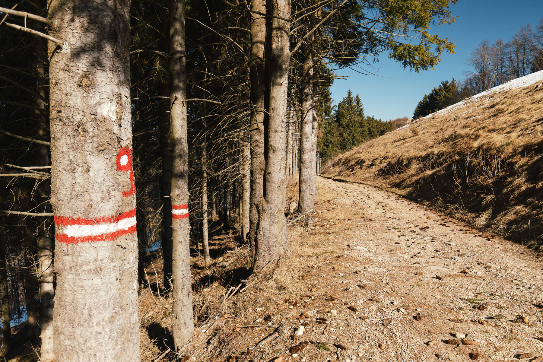
Trail conditions: dirt roads and easy paths, with the exception of one steep stretch at the bottom of Val Pissador