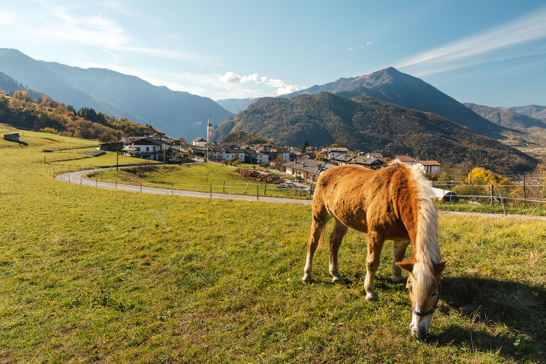
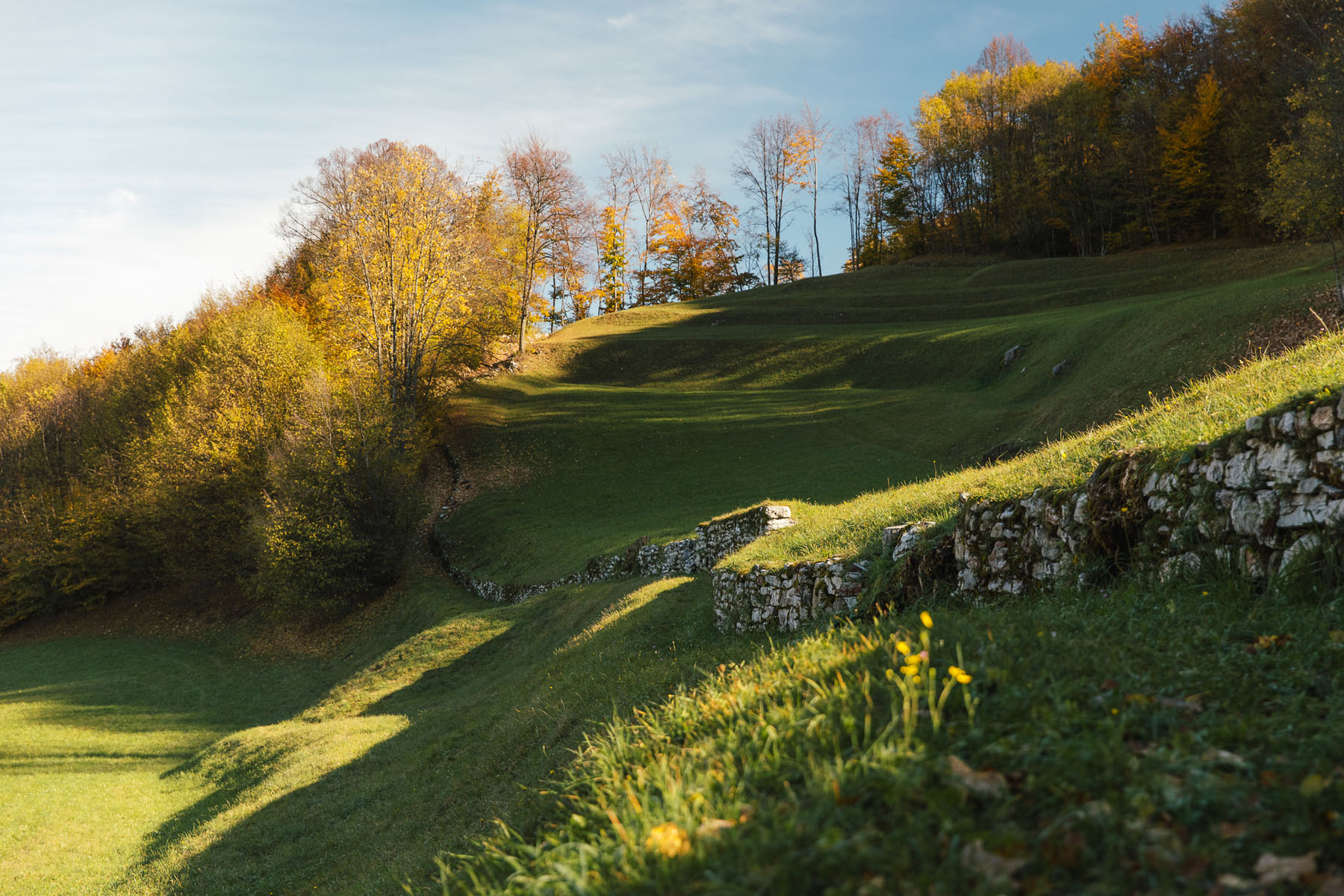
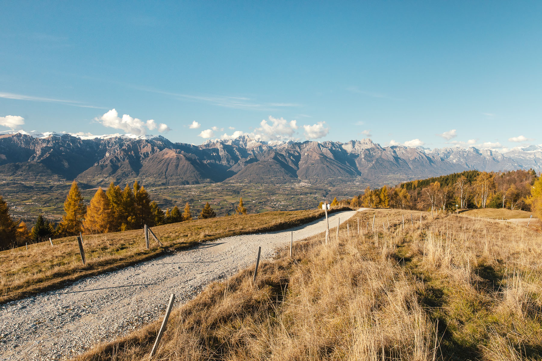
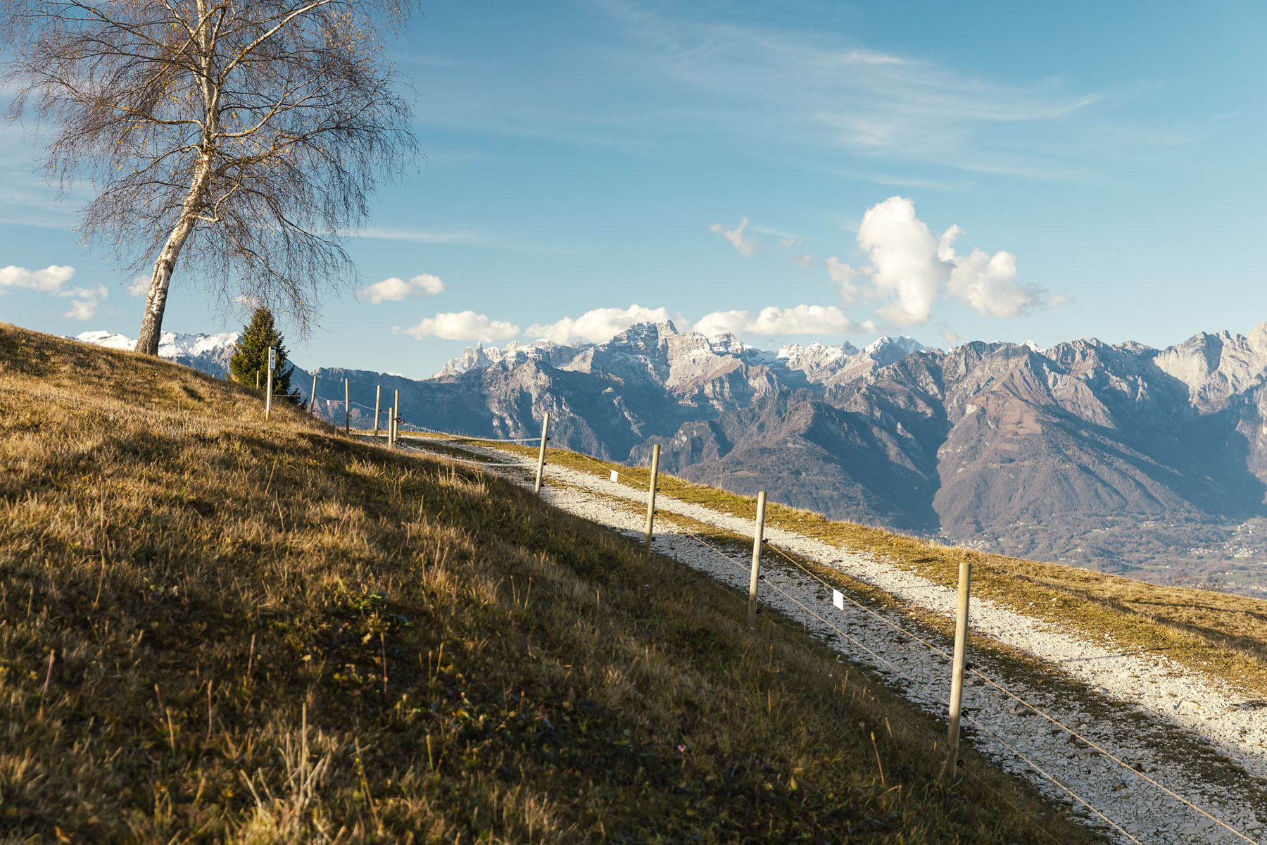
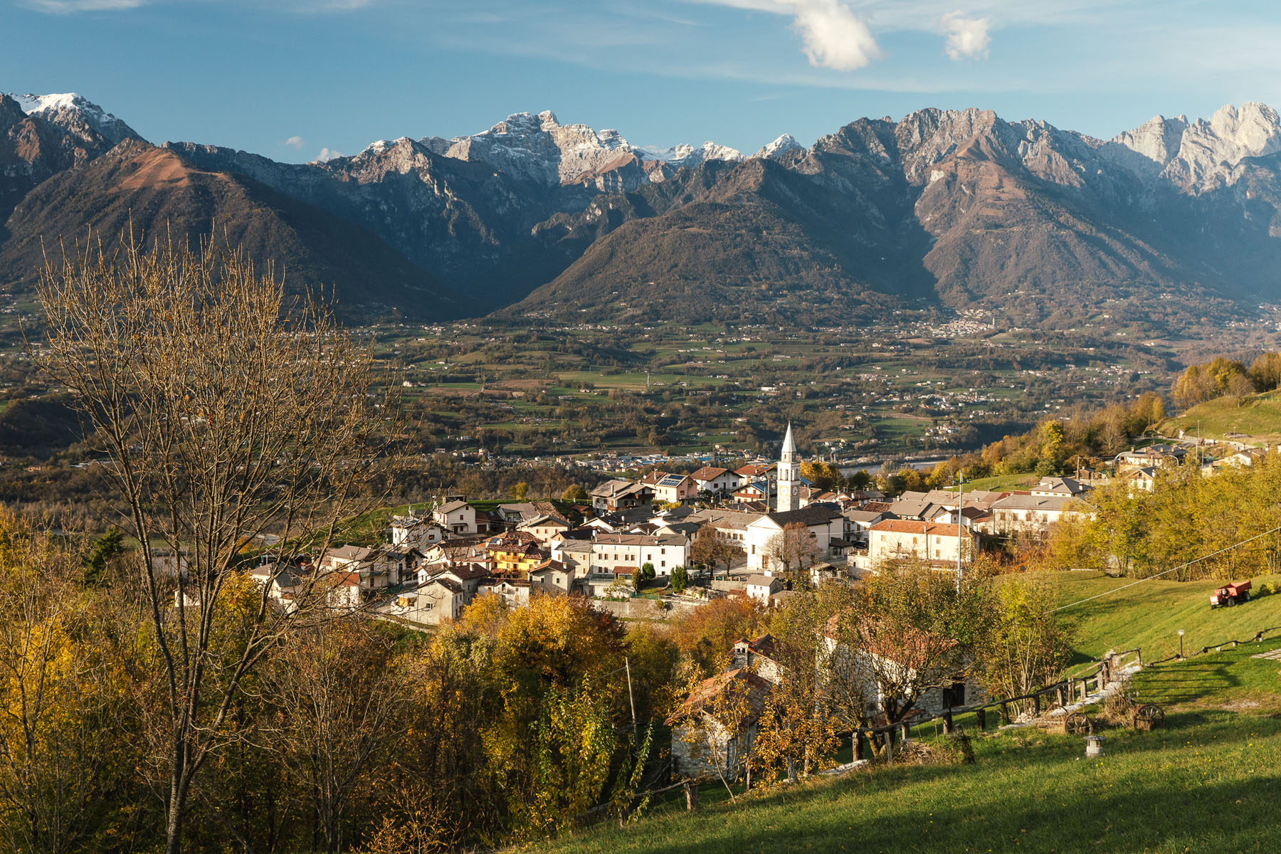
Interesting loop tour among beautiful plateaus and steep forests, suitable for all seasons. Leave your car in the pretty hamlet of Stabie, without neglecting to visit the small centre. Head towards Canai and then on to Le Fosse. The strenuous climb to Col d’Artent (1180m asl) is well rewarded by the wonderful view of the Valbelluna and the Dolomites that will refresh your senses. Continue to the highest point of the entire hike: from the summit of Col Moscher (1230m asl) the panorama is vast, 360° over the entire Valbelluna. The view ranges from the peaks above the Alpago area to the Grappa massif.
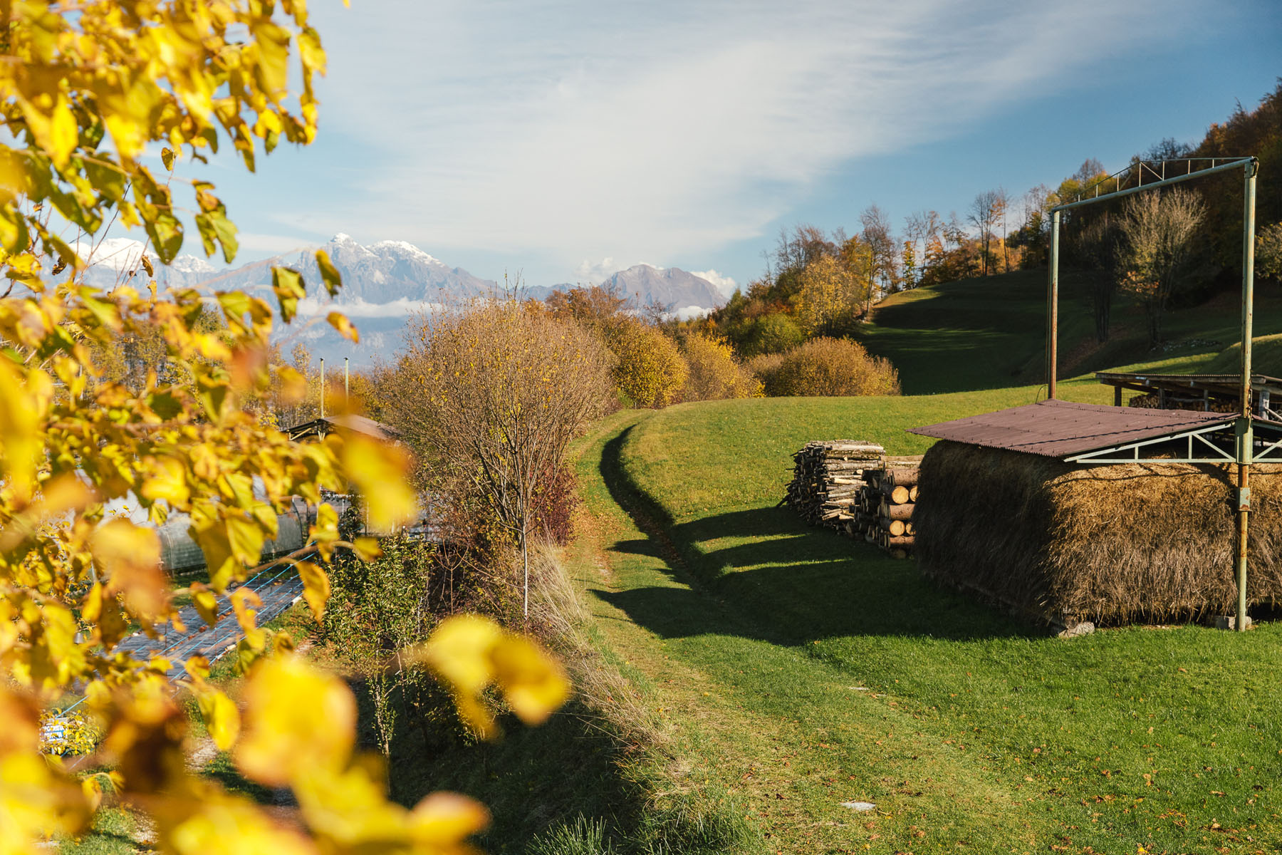
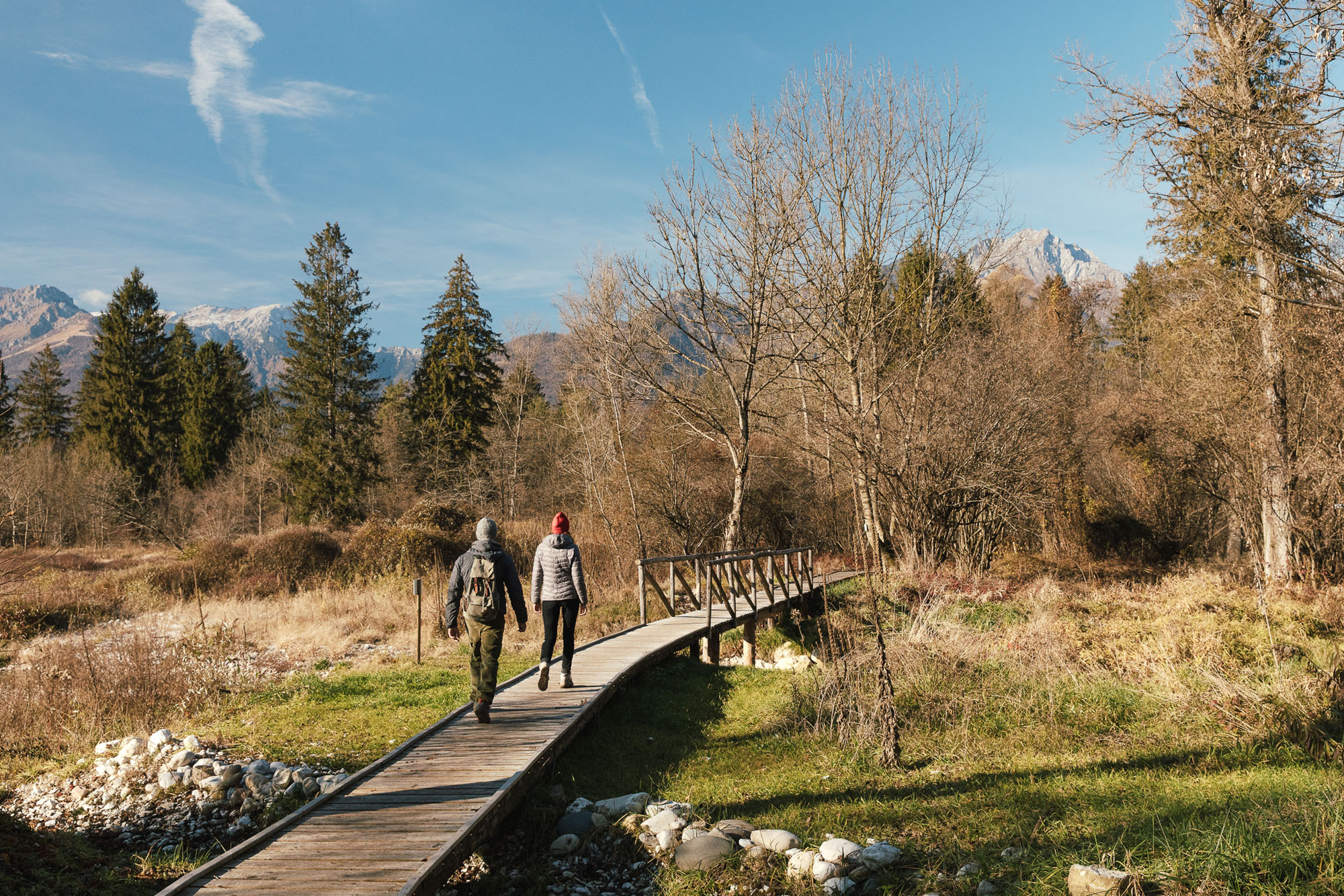
The long descent to Stabie gives you no reason to get bored. Stop to admire the century-old linden tree, listed among the monumental trees of Italy. Surprising glimpses of the narrow valley of the Piave River as it winds its way towards Quero, Mount Miesna and the Feltre basin will accompany you all the way back to your car.